Geotechnical
Geotechnical surveys are important for understanding soil and rock conditions, assessing site suitability, designing foundations, and ensuring the stability and safety of infrastructure projects.
- Subsurface exploration
- Soil testing
- Foundation design
- Slope stability analysis
- Pavement design and analysis
- Retaining wall design
- Geotechnical instrumentation and monitoring
- Geotechnical risk assessment
- Earthwork and excavation recommendations
- Seismic site classification
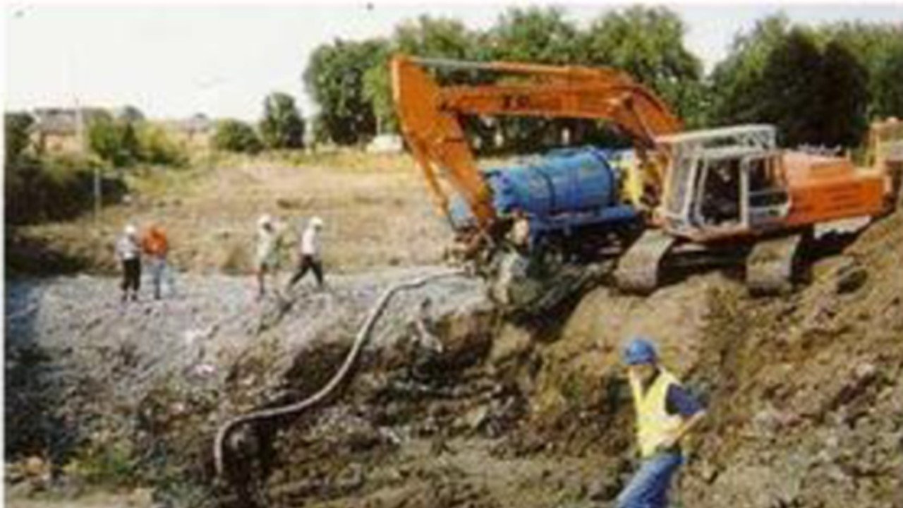
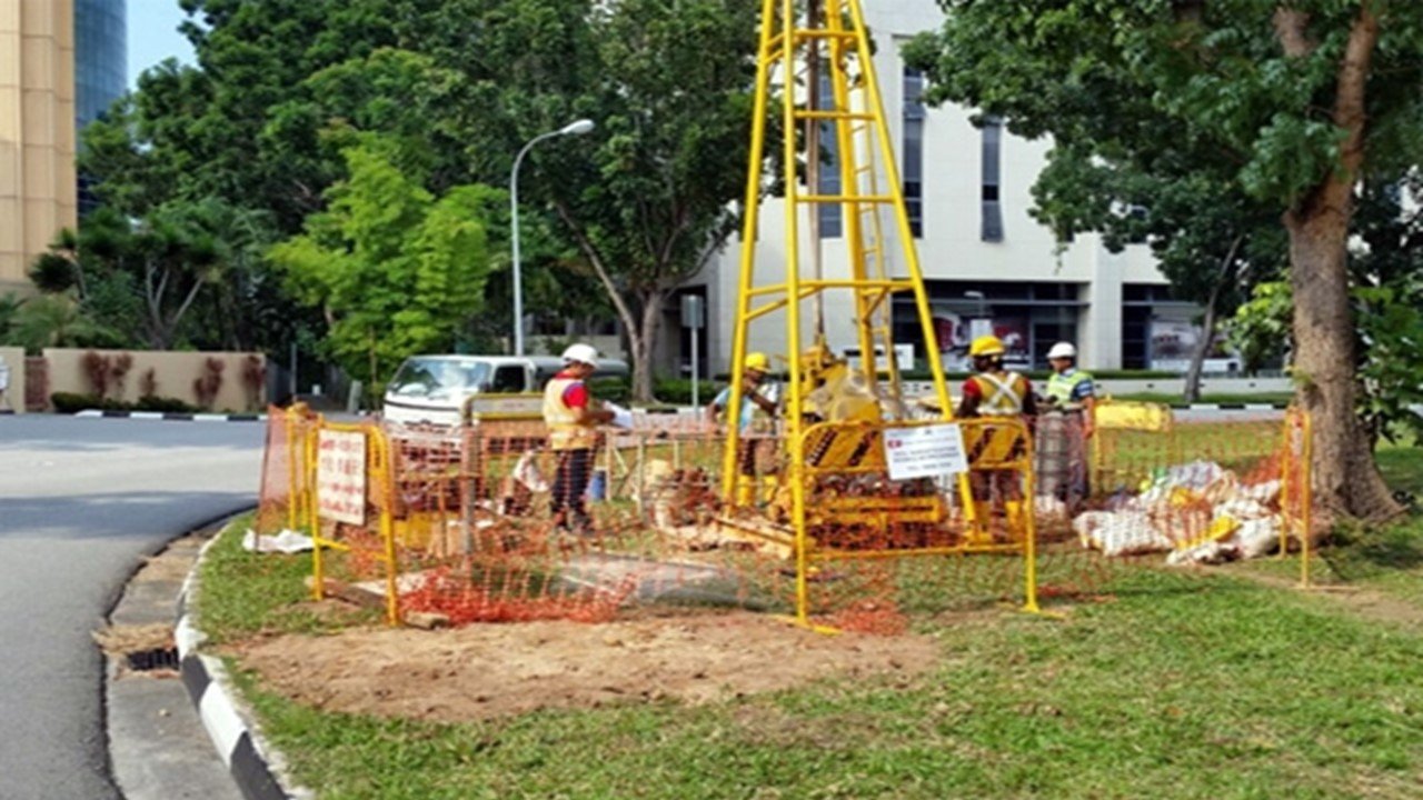
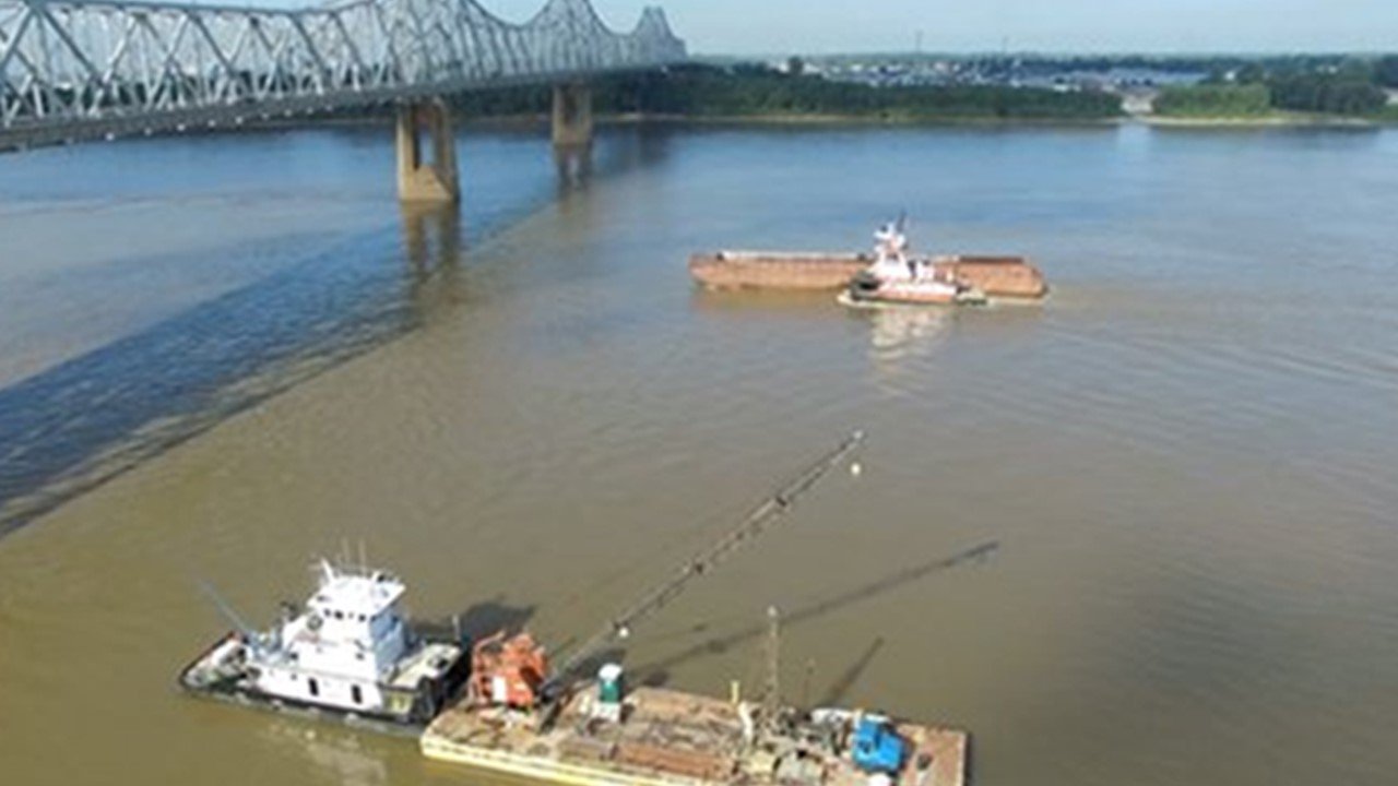
Geotechnical investigations provide information for excavation planning, slope stability analysis, and foundation design by evaluating the subsurface conditions and soil and rock qualities. These investigations support risk identification, hazard mitigation, and engineering solution recommendations. For guaranteeing the long-term integrity and resilience of structures, boosting safety, and reducing the hazards connected with soil and foundation collapses, geotechnical studies are essential.
Geophysical
Geophysical surveys are important for mapping and understanding subsurface geological structures, identifying natural resources, and detecting potential hazards or environmental risks.
- Electrical resistivity imaging
- Ground penetrating radar (GPR)
- Magnetic surveys
- Gravity surveys
- Electromagnetic surveys
- Microgravity surveys
- Seismic surveys
- Borehole geophysics
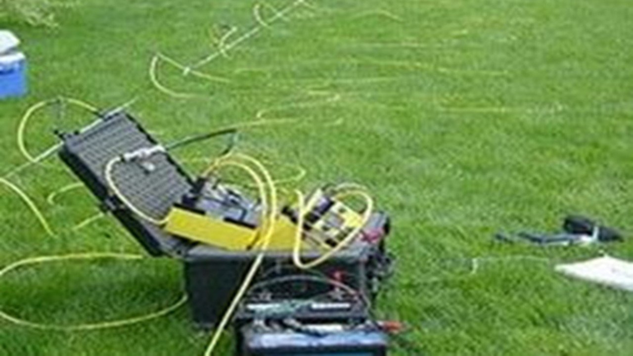
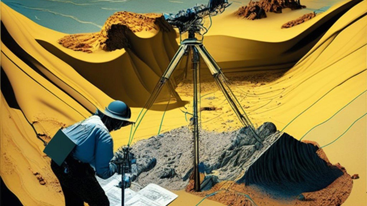
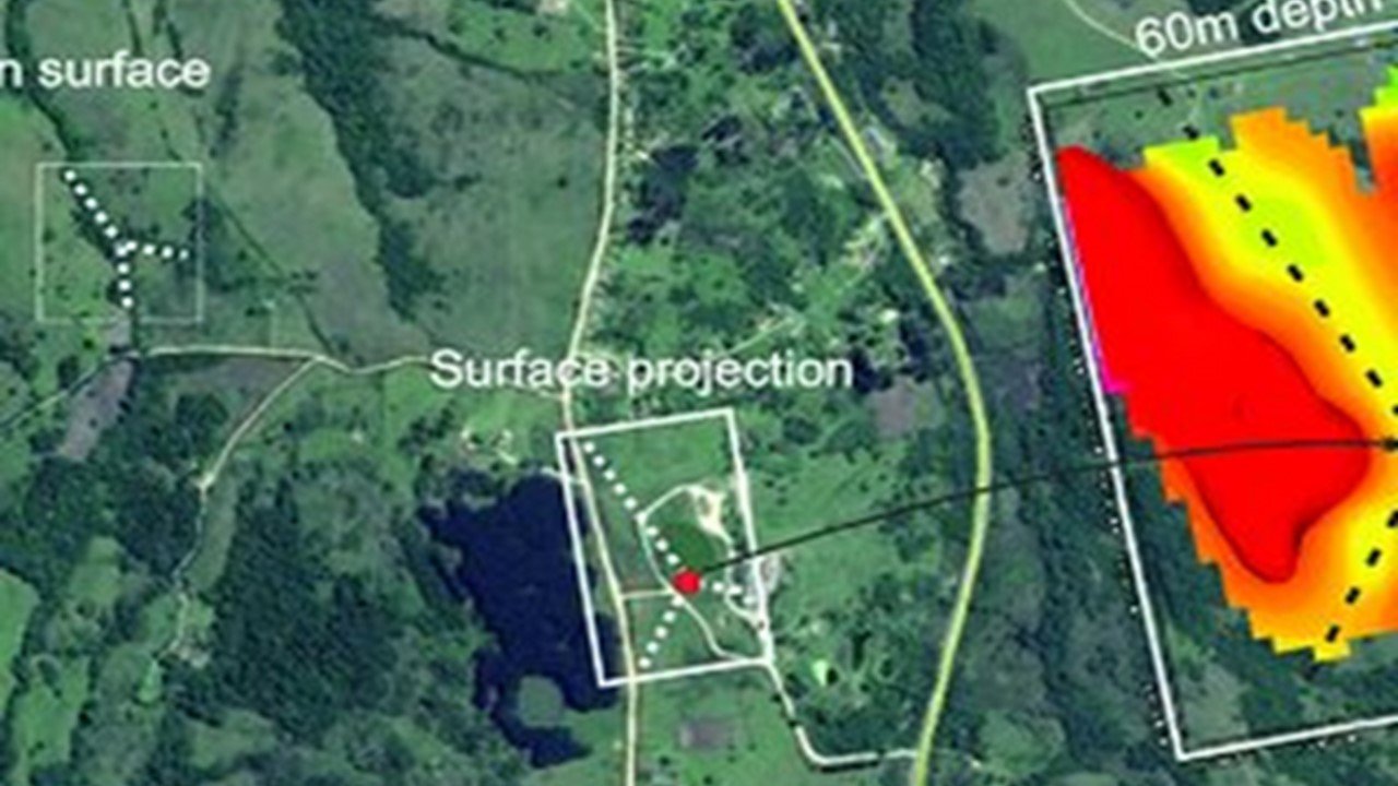
Geophysical investigations offer important details about the make-up, structure, and characteristics of the subsurface by using non-invasive methods like seismic surveys, electrical resistivity, and ground penetrating radar. With the aid of this knowledge, it is possible to locate subterranean utilities, map bedrock and groundwater resources, and evaluate geotechnical risks. Geophysical studies aid in efficient project planning, design, and construction by improving safety, lowering hazards, and making the most use of available resources in geotechnical and environmental applications.
Topography
Topographical surveys are important for accurately mapping the surface features and elevations of a given area, providing essential data for planning and designing infrastructure projects, managing land resources, and assessing flood risks.
- Field surveying
- Digital terrain modeling
- Contour mapping
- Cross-section profiling
- Floodplain mapping
- Volume calculations
- Boundary surveys
- Site analysis and planning
- Elevation certificates
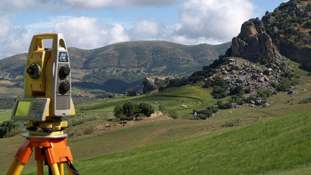
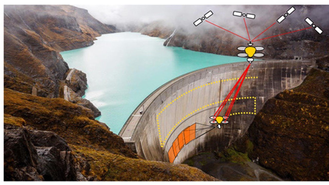

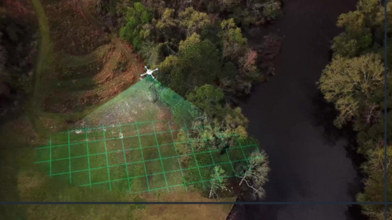
Topographical surveys are essential for accurate mapping, an understanding of land characteristics and elevations, and support for tasks like urban planning, engineering design, and construction. To analyse sites, map floodplains, and create infrastructure, it provide useful information on the terrain, contours, and boundaries. Topographical surveys offer effective resource allocation and decision-making through precise measurements, which promotes effective land management and development.
Bathymetry
Bathymetry surveys are important for mapping and understanding underwater terrain, assessing the health of aquatic ecosystems, and designing infrastructure projects related to ports, harbors, and waterways.
- Water depth measurement
- Submerged object detection
- Multibeam sonar survey
- Sediment characterization
- Hydrographic surveying
- Underwater terrain modeling
- Navigational channel assessment
- Sub-bottom profiling survey
- Water quality monitoring
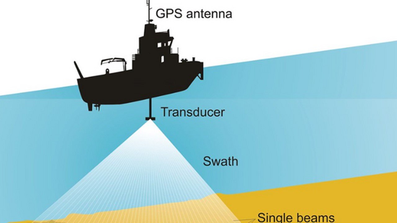
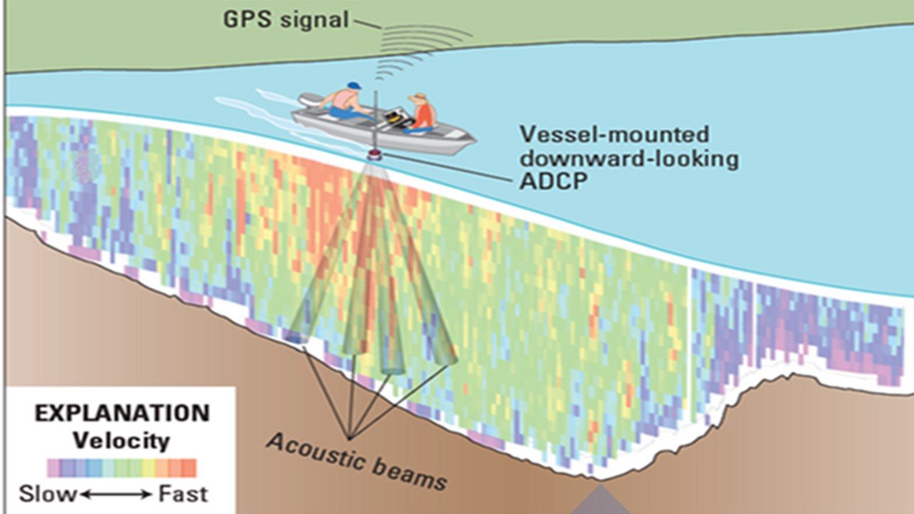
Bathymetric surveys are crucial for understanding the underwater topography and characteristics of water bodies. By employing techniques such as multibeam sonar and echo sounders, bathymetric surveys provide detailed information on depth, sediment distribution, and underwater features. This data is essential for safe navigation, coastal management, habitat mapping, and assessing water quality, supporting various industries and activities dependent on accurate knowledge of underwater terrain.
GHG Emission
GHG emission monitoring is important for tracking and assessing the impact of human activities on climate change, informing mitigation strategies, and promoting sustainable development practices.
- Measurement and monitoring
- Data analysis and reporting
- Carbon footprint assessment
- Verification and validation
- Emission reduction strategies
- Compliance management
- Carbon offset project development
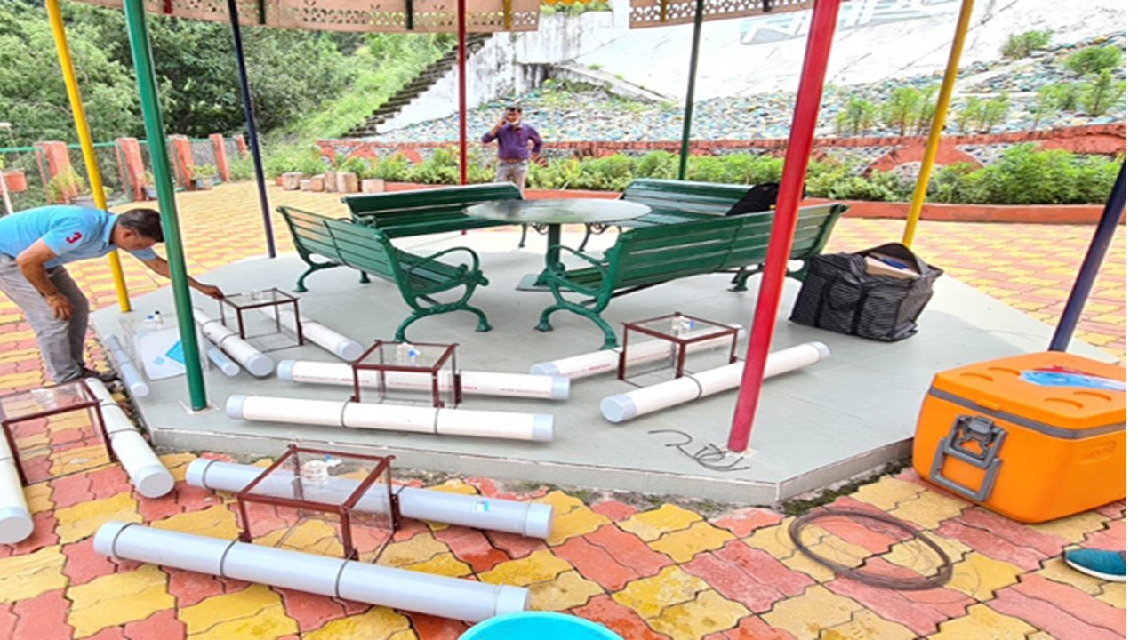


Monitoring greenhouse gas emissions is essential for recognising and managing the effects of human activity on the environment. It entails the creation of emission inventories, monitoring and measurement of emissions, and data analysis to calculate carbon footprints. In order to combat climate change and save the environment, this knowledge is crucial for developing policies that work, for establishing emission reduction targets, and for promoting sustainability.

