
Dams and Barrages
"Hydrological analysis is crucial for designing and operating dams and barrages to ensure water supply, flood control, and environmental protections." - Dr. Dheeraj Kumar
- Estimation of inflow
- Reservoir sizing
- Flood likelihood
- Design sedimentation control measures
- Water supply management
- Hydropower generation
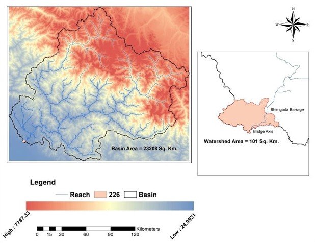
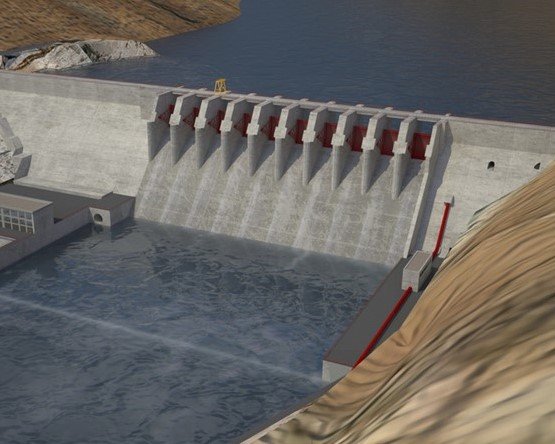
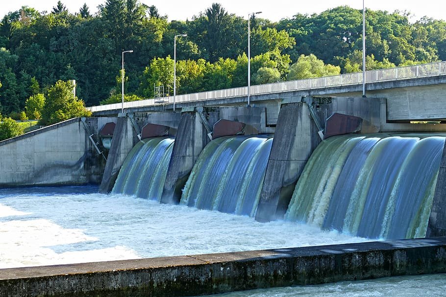
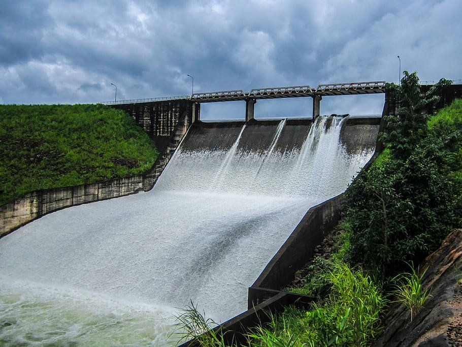
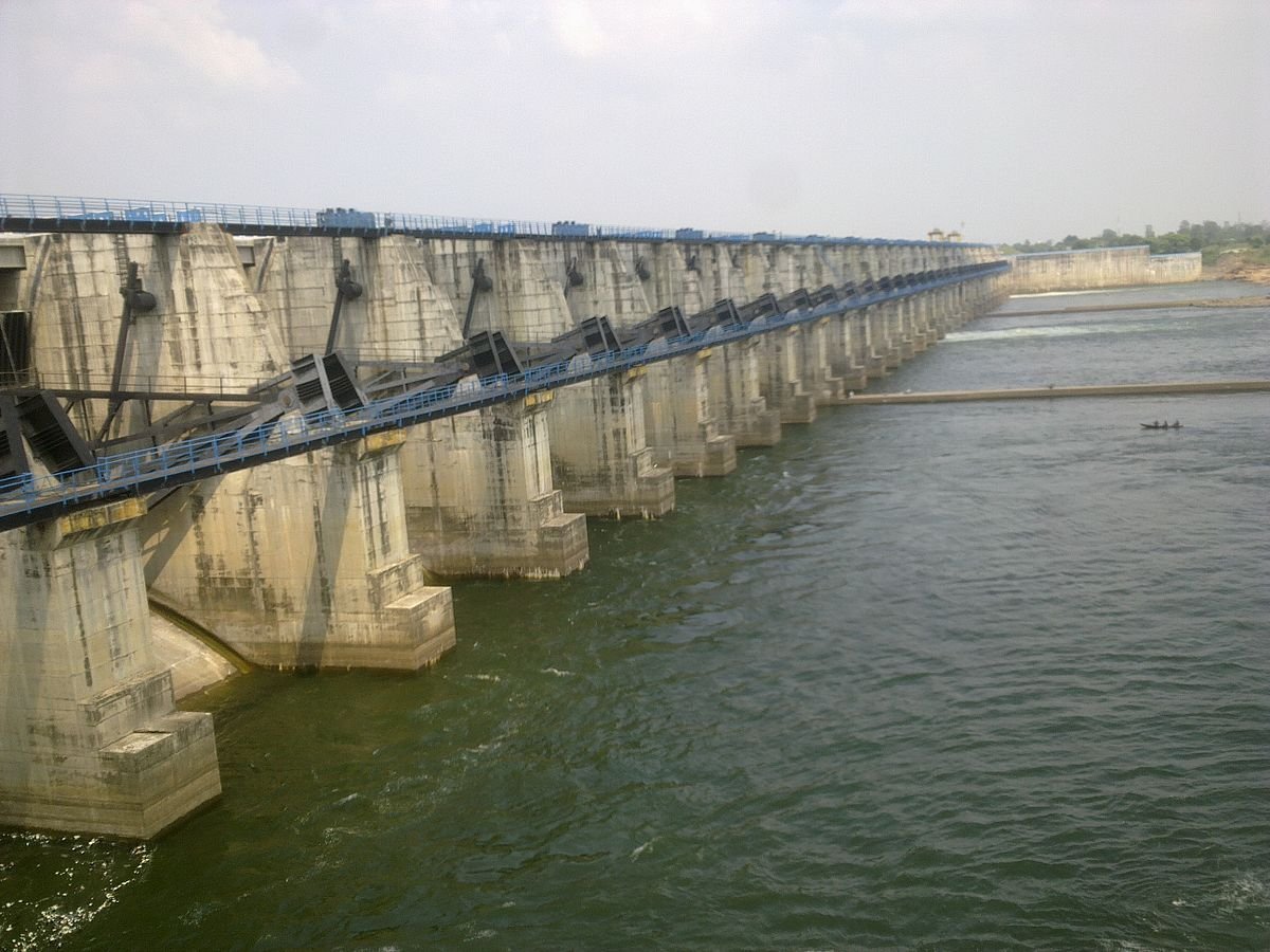
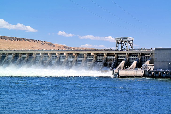
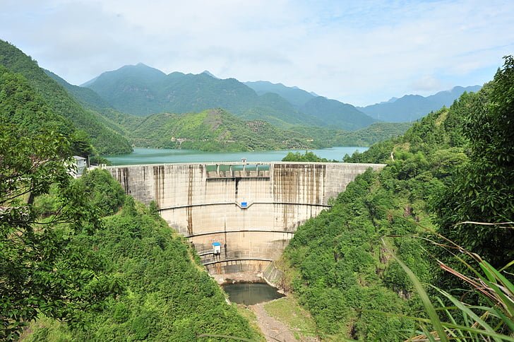
Hydrology assists in determining streamflows, sediment movement, and water availability, allowing engineers to create structures that efficiently store and manage water resources. Decisions on reservoir size, flood control plans, and operational tactics are informed by hydrological study of the catchment. Planners can ensure effective and sustainable management of water resources through dams and barrages by taking hydrology into account.
Rail & Road Bridges
Hydrological analysis is essential in the design and maintenance of rail and road bridges to ensure safety and prevent damage from floods and other water-related hazards.
- Scour analysis
- Stream stability analysis
- Floodplain mapping
- Streamflow monitoring
- Determination of design flood
- Estimation of velocity and depth of water flow during floods
- Design of bridge piers and abutments.
- Erosion protection works
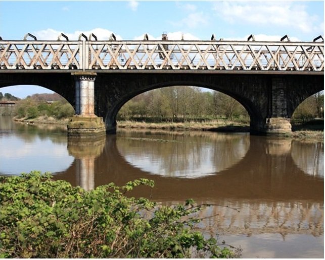
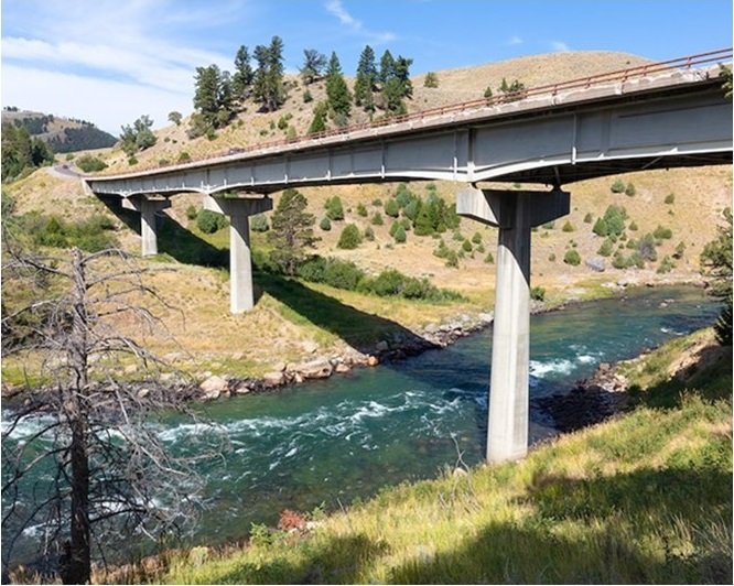
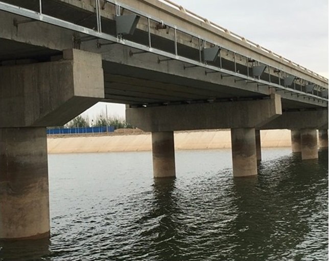
Hydrology is an important aspect of planning for rail and road bridges. It helps in determining the water flow rate and the amount of water that will pass under the bridge. This information is used to design the bridge structure and ensure that it can withstand the forces of the water. Hydrology also helps in determining the location of the bridge and its height above the water level. This ensures that the bridge is not affected by floods or other natural disasters.
Highways and Roads
Hydrological analysis is critical for planning and maintaining highways and roads, ensuring proper drainage, and preventing flooding and erosion.
- Design of Culvert and Retaining wall
- Stormwater management
- Floodplain mapping
- Determination of impact of precipitation on road safety
- Estimation of runoff generated by rainfall.
- Design of effective drainage systems

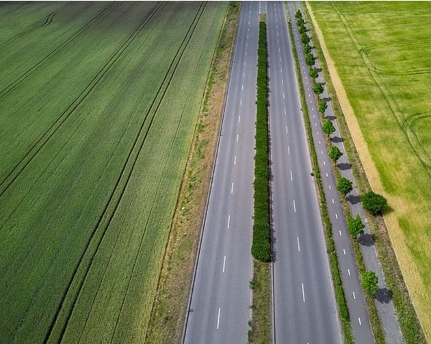
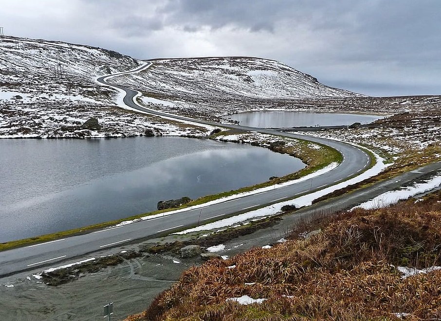
Planning highways and roads requires consideration of catchment hydrology for a number of reasons. It supports efficient drainage system design, flood risk assessment, erosion control, and water quality management. It also helps in adaptation to the effects of climate change. Road infrastructure is ensured to be durable and sustainable by taking catchment hydrology into account.
Urban Planning
Hydrological analysis is vital in urban planning to manage stormwater, mitigate flood risks, and ensure sustainable water management in urban areas.
- Design stormwater management systems
- Floodplain mapping
- Assessment of availability, quality and quantity of surface water and groundwater resources
- Development of strategies to ensure an adequate supply of water for urban areas
- Design and implement urban stream restoration


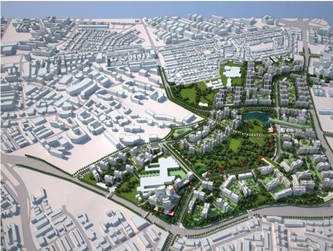
Hydrology is important in urban Planning & development. It aids in the control of stormwater runoff, identification of water supply sources, development of wastewater treatment facilities, and use of environmentally friendly drainage techniques. Urban planners can design more durable and environmentally friendly communities by taking hydrological issues into account.
Irrigation
Hydrological analysis is essential in irrigation to optimize water use, prevent waterlogging and salinity, and increase crop yield.
- Command area development
- Water use efficiency assessment
- Irrigation water demand estimation
- Irrigation water supply assessment
- Water distribution system design
- Drainage system design
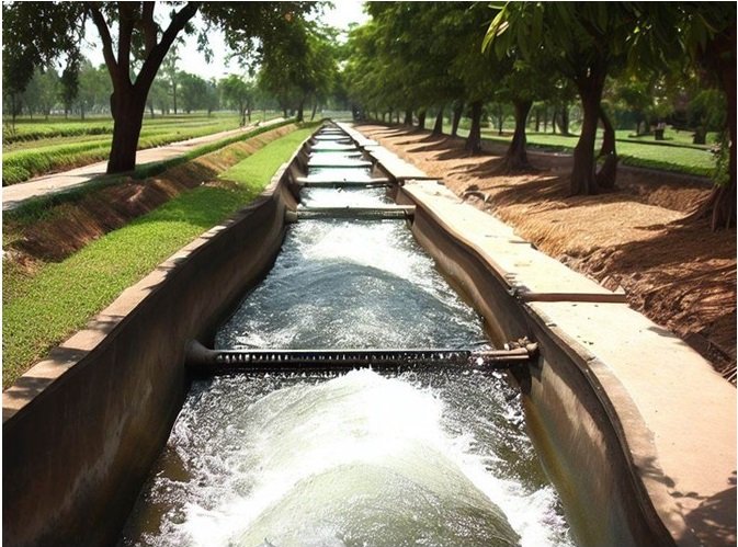
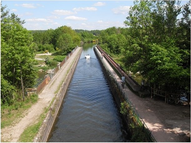
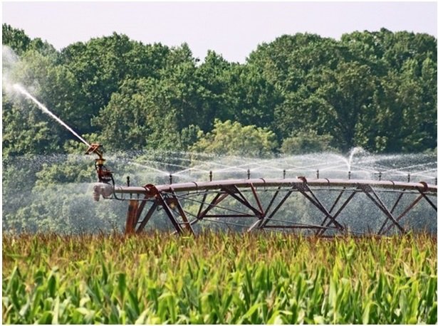
Hydrology aids in comprehending the distribution, flow, and availability of water inside the command area. Planners can optimise water allocation, create effective irrigation systems, and assure sustainable water management by analysing hydrological data. Incorporating hydrology in command area development ensures optimal utilization of water resources and increased agricultural productivity.
Forests
Hydrological analysis is significant in forests to understand water availability, streamflow, and erosion, and to manage watersheds for sustainable forest management.
- Impact assessment
- Canopy interception studies
- Soil erosion and sediment control
- Wetland delineation and restoration
- Riparian zone management
- Aquatic ecosystem assessment
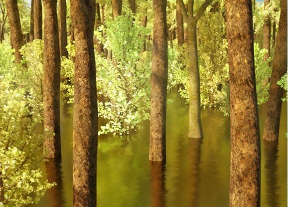
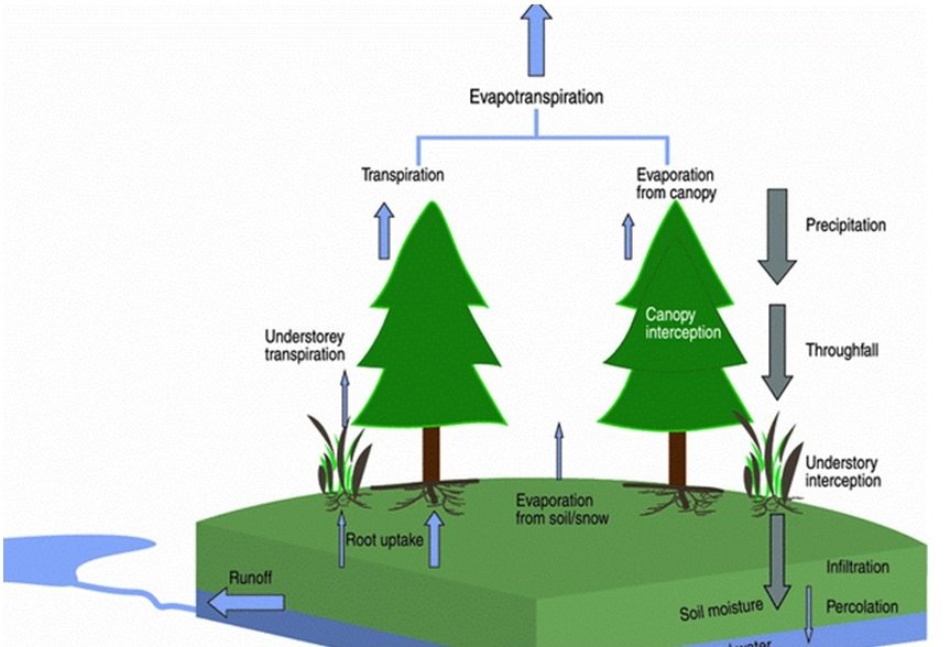
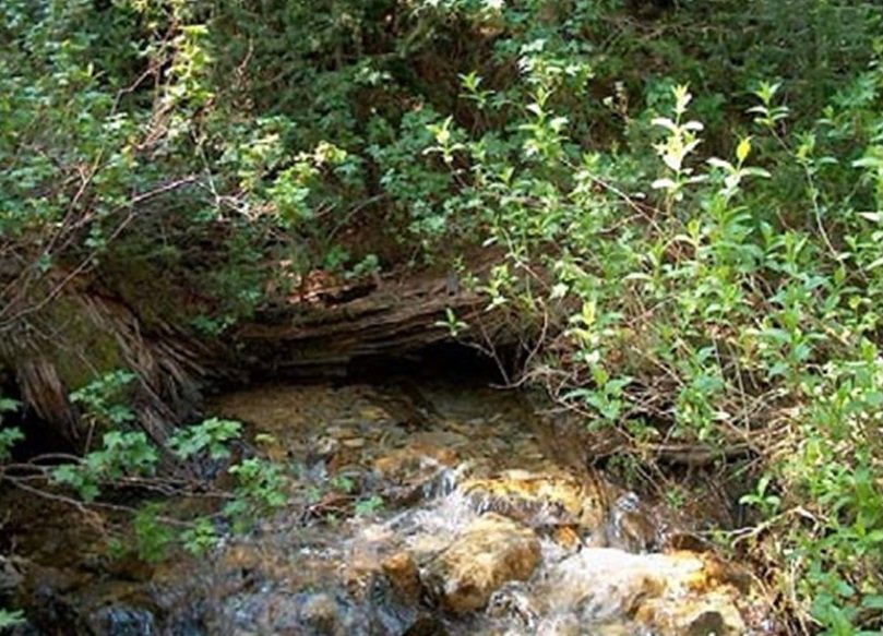
Hydrology helps in understanding the water cycle, including groundwater recharge, streamflow, and water availability within forest ecosystems. By studying hydrological processes, forest managers can make informed decisions about water resource management, protect sensitive habitats, and mitigate the impacts of deforestation on watersheds. Incorporating hydrology in forest conservation ensures the preservation of critical ecosystems and the sustainable management of water resources.